|
|
Quality assurance of data, TerraNor can assist |
|
 |
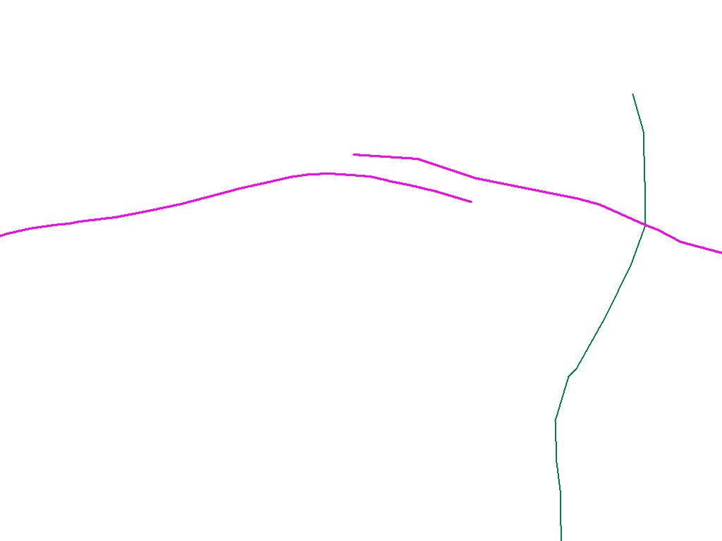
Many customers who buy data are unsure of the quality they receive. Are the road networks interconnected?
Is it the right coordinate system? How old is data? Why can't data be used in GIS?
Most GIS requires that data to be used has a given quality. Without this quality
the software will not be able to establish the models needed to
run analyzes.
Data errors are very costly and can take many days or weeks of extra work.
TerraNor can assist in defining the requirements needed to establish a GIS. We
know many error situations that can occur in digital maps and property data.
Together with the customer we will establish quality requirements based on functionality.
The requirements can apply both for your own production or purchasing data from survey companies.
TerraNor can help reduce unnecessarily high demands on quality as an expensive raise of cost for
data.
TerraNor can assist in quality assurance of data.
|
|
|
|
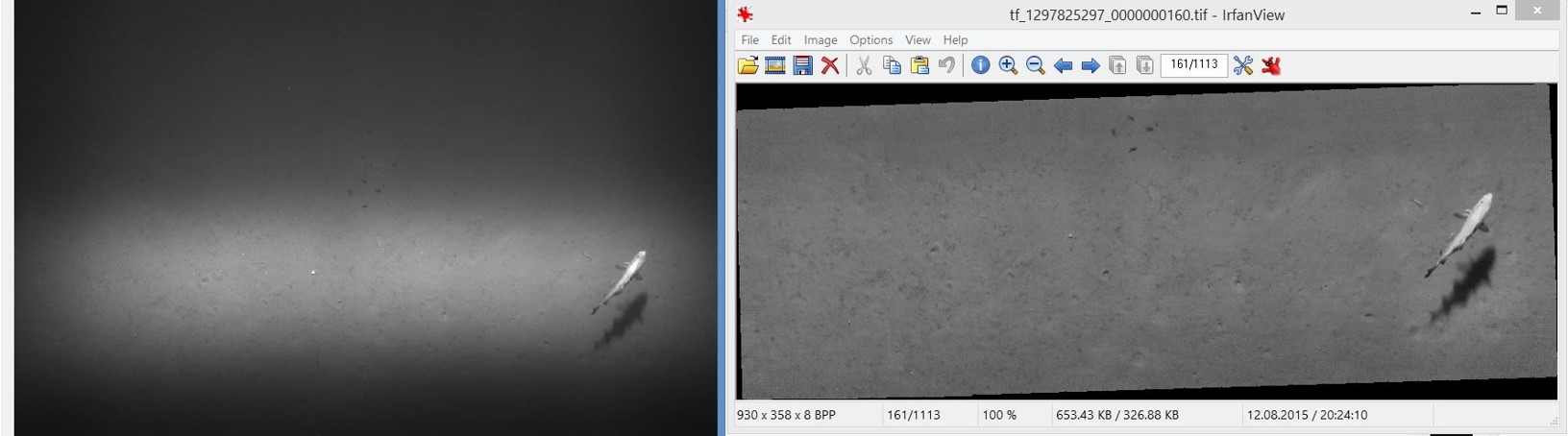
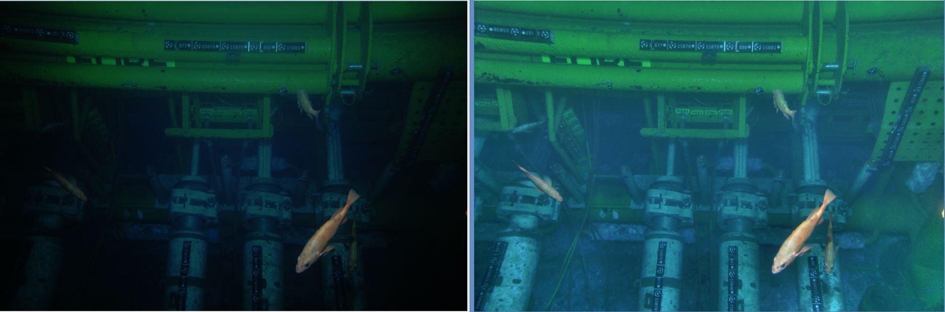
Plan your image data survey from seabed or land properly. Contact TerraNor before you collect data or purchase a survey. We can advise you to get the best quality. |
|
|
|
|
|