Satellite imagery, an excellent choice that reduces time and costs for image mapping
|
How to order
TerraNor offer data from high resolution satellites. Contact us at postATterranor.no to obtain information on how to order data.
TerraNor will help you to chose the right quality, right satellite type and size of AOI (Area Of Interest).
1: fill in order form we send you
2: send us shape file with AOI
3: wait for data. |
Satellite data are simple and cost effective!
Price vary with size and quality. You can order small areas that cover exactly your AOI. For small and medium sized areas price is much less that airplane mapping.
Send us a shape file of your AOI and you can have your image within days depending on weather.
Satellite data are easy to buy and use. |
|
|
|
|
|
|
Explanations
|
Pan: Panchromatic, b/w, greyscale
MS: Multispectral, colour, 4 to many channels
GSD: ground sample distance: distance between pixel centers measured on the ground
|
|
|
|

|
WorldView 1 launched in 2007
Revisit: 1.7 days
Efficient in-track stereo collection
Pan: 400 - 900 nm
0.5 - 0.55 m Pan GSD at nadir
More info:WorldView1-WVGA_web.pdf |
|
|
|

|
WorldView 2 launched October 8, 2009
Revisit: 1.1 days
Single pass stereo 63*112 km
Pan: 450 - 800 nm
8 MS bands 400 - 1040 nm
Resolution
0.46 - 0.52 m Pan GSD
1.85 - 2.07 m MS GSD
More info: WorldView2-WVGA_Collection Capacity_web.pdf |
|
|
|

|
WorldView 3 launched August 13, 2014
Revisit for 1 m GSD: <1.0 day
Single pass stereo 26.6 km x 112 km (2 pairs)
Pan: 450 - 800 nm
8 MS: 397 - 1039 nm
8 SWIR Bands: 1184 - 2373 nm
12 CAVIS Bands: 405 - 2245 nm
Resolution:
0.31 - 0.34 m - Pan GSD
1.24 - 1.38 m - MS GSD
3.70 - 4.1 m - SWIR GSD
30.00 m CAVIS GSD
More info: WorldView3-WVGA_web-2014.pdf |
|
|
|

|
GeoEye 1 launched September 6, 2008
Revisit time is 3 days
Single pass stereo
Pan: 450 - 800 nm
4 MS: 450 - 920 nm
Resolution:
0.41 m Pan GSD
1.84 m MS GSD
More info: GeoEye1_DS_WVGA.pdf |
|
|
|

|
Ikonos decommissioned in March 2015
Archive data still available
Pan:450 - 900 nm
MS: 445 - 853 nm
Resolution:
0.82 m Pan GSD
3.2 m MS GSD
More info: IKONOS_DS_WVGA_web.pdf |
|
|
|

|
QuickBird decommissioned in January 2015
Archive data still available
Pan:405 - 1053 nm
MS:430 - 918 nm
Resolution:
0.61 m Pan GSd
2.44 m MS GSD
More info: QuickBird-WVGA_web.pdf |
|
|
|
|
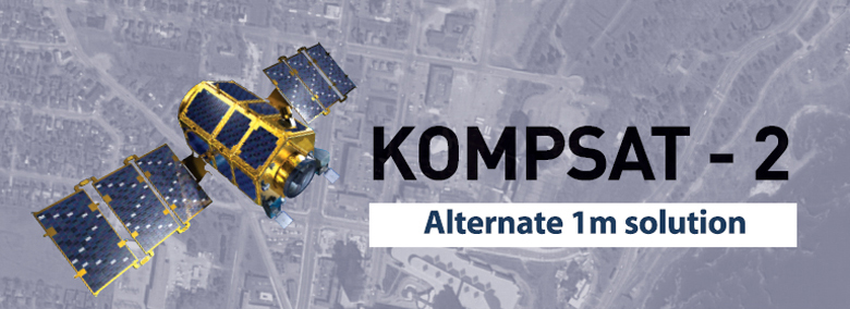
Kompsat 2 Launch in July 2006
Pan:500 - 900 nm
MS:520 - 900 nm
1.0 m Pan GSD
4.0 m MS GSD
More info:
here
KOMPSAT2_Image Data Manual_v1.2_0703(1).pdf
|
|
|
|

|
Kompsat 3 launched on May 17, 2012
Pan: 500 - 900 nm
MS: 450 - 900 m
0.7 m Pan
2.8 m MS
More info
here
KOMPSAT3_Image Data Manual_V1.2.pdf
|
|
|
|
|
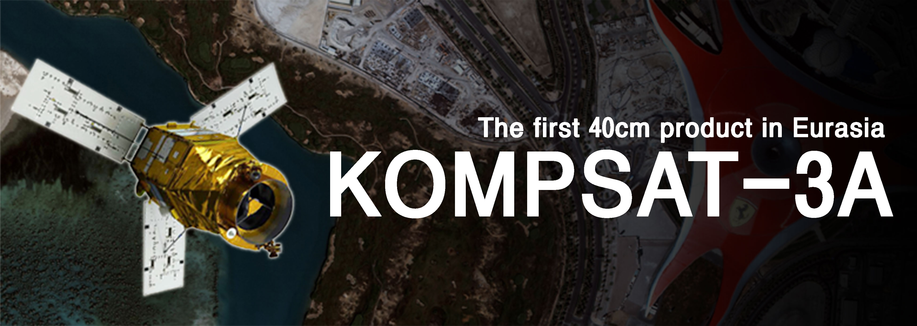
Kompsat 3A launched on March 25, 2015
Pan: 450 - 900 nm
MS: 450 - 900 m
0.4 m Pan
1.6 m MS
More info
here
|
|
|
|
|
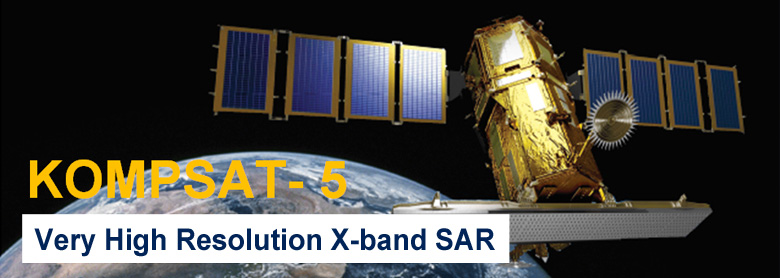
Kompsat 5 radar launched on August 22, 2013
Radar is different from optical:
The KOMPSAT-5 can be acquired in seven observation mode.
Observation modes with one polarization selectable among HH, VV, HV, or VH
KOMPSAT-5 Products Attributes_v1.2.pdf
KOMPSAT-5_Standard_Products_Specifications_v1.2.pdf
|