Land use
A project for
Norwegian Environmental Agency |
TerraNor together with University in Bergen, Geographic Institute and PCI Geomatics, Canada developed an automatic application for nature mapping. The documents are technical.
A descriptive document will follow.
|
|
|
This document describes the over all process |
Technical description of the project
|
|
|
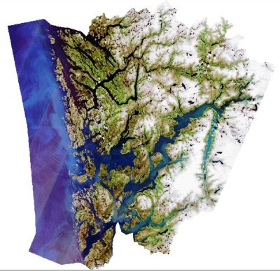
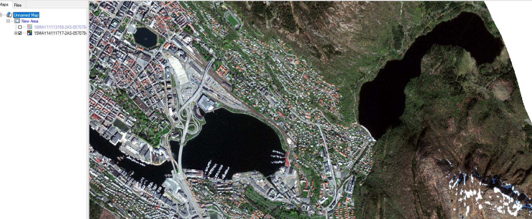
PCI GXL was used to preprocess satellite and aerial data |
Preprocessing of Satellite and aerial data with PCI GXL
|
|
|
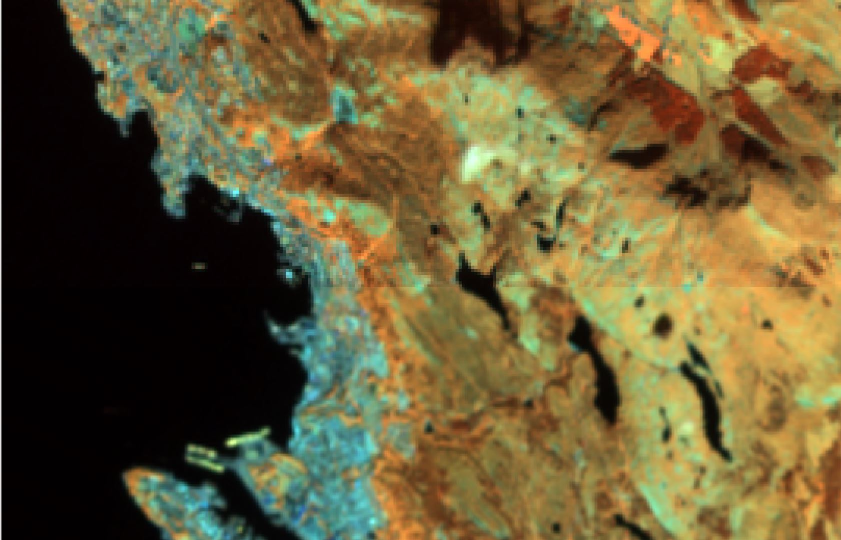
Threshold analysis combined with Deep Learning is a fast and robust solution |
Threshold analysis combined with Deep Learning
|
|
|
|
|
|
|
|
|
|
|
|
|