|
|
Seabed bathymetry and backscatter analysis |
|
|
|
TerraNor has developed routines to prepare and analyse bathymetry and backscatter data. Our routines are developed in eCognition and are based on development from Dr Markus Diesing at British CEFAS and Norwegian Geological Survey.
|
|
|
|
TerraNor implementation: |
|
|
|
With our model you import bathymetry and backscatter data together with your samples and let eCognition prepare data and do the analysis automatically.
|
|
|
|
Be effective: |
|
|
|
We have processed areas of 2.300km2 in one afternoon (three hours). What took you days or weeks to process, can now be done in hours.
|
|
|
|
Full control |
|
|
|
The operator controls
- What layers to use and the impact of each layer
- Size of polygons/objects
- What classes to use
Classes are automatically created from your sample database
|
|
|
|
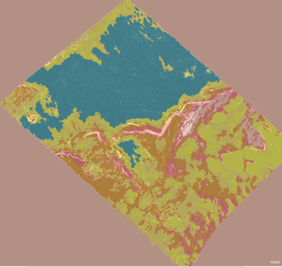
Final classified image: |
|
|
|
 |
|
|
|
Input layers |
|
|
|
Backscatter data are used directly in the model. From bathymetry we create several derivatives like slope, aspect, roughness and several more, that we need in the analysis.
|
|
|
|
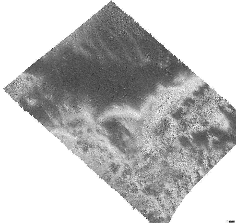
Backscatter: |
|
|
|
 |
|
|
|
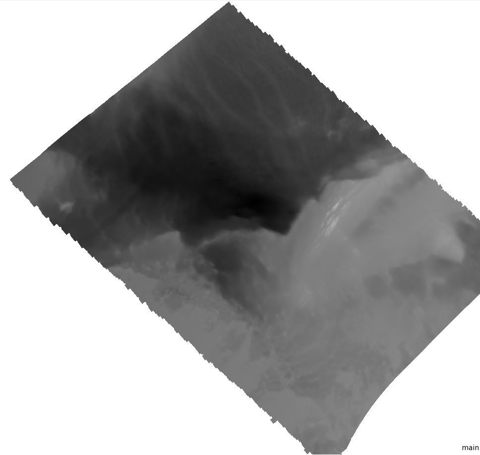
Bathymetry |
|
|
|
 |
|
|
|
Aspect |
|
|
|
 |
|
|
|
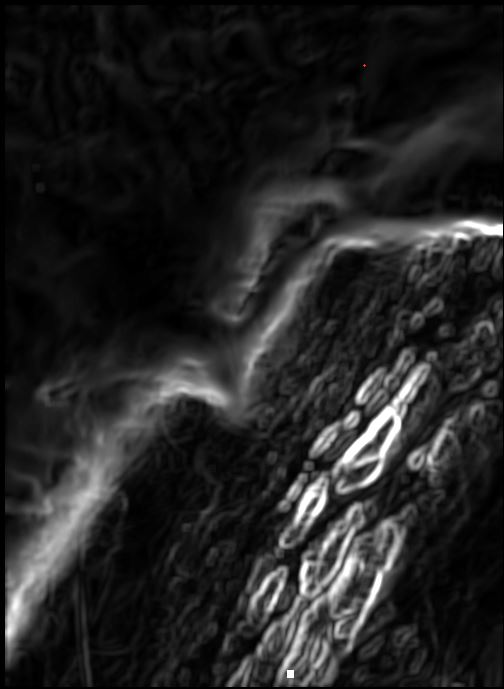
Roughness |
|
|
|
 |
|
|
|
|
|
|
|
Use of layers |
|
|
|
Processing in eCognition can include more than 15 layers. Depending on the type of terrain and size of the project, the operator decides what layers, size of the polygons and what classes to use.
|
|
|
|
Easy to use |
|
|
|
The model is all inclusive. It automatically creates all the layers you need and processes the classification without manual work.
|
|
|
|
Advanced machine learning |
|
|
|
The model uses eCognition well-known routines for machine learning. The operator can choose between Support Vector Machine, KNN, Decision Tree, Bayes or Random Trees. All machine learning routines in eCognition are based on scientific documentation. Please consult Wikipedia for description of the different routines. |
|